Lowland Carrs
View interactive map of Broad Landscape Types
Key Characteristics
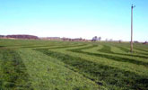
- Flat, low lying and poorly drained carrs.
- Deep glacial clays overlain in places by alluvium and shallow peat.
- Seasonally waterlogged alluvial and brown clay soils with tracts of earthy peats.
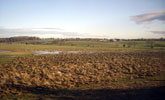
- Arable and mixed farmland on higher lying ground. Improved and wet rushy pasture on poorly drained flats.
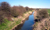
- Straight watercourses flanked by levees.
- Occasional pumping stations.
- Regular grids of water-filled ditches and wire fences on lower ground.
- Semi-regular field patterns of gappy thorn hedges on drier ground.
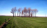
- Few trees – occasional willow along watercourses.
- Few woodlands – thinly scattered small broadleaved plantations.
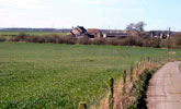
- Occasional farms in the fringes of the carrs and on pockets of higher ground.
- Few roads or footpaths.
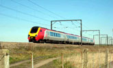
- The carrs are crossed by the A1 (M) and the East Coast railway line on raised embankments.
- A visually open landscape defined by the slightly higher ground of the surrounding lowland plain.
- A sparsely settled rural landscape with a strong sense of place.
Description
Flat low lying and poorly drained carrs. The underlying Permian rocks are masked by a deep mantle of glacial drift of laminated and boulder clays which is overlain in the flattest areas by alluvium and shallow peat. The main watercourses are artificially straightened and raised above the level of the flats by banks and levees. The flats are drained by a system of ditches and stells from which water is pumped via pumping stations. Soils are seasonally waterlogged alluvial soils and earthy peats on the wetter flats, with heavy brown clay soils on higher ground.
Agricultural land use reflects the drainage of the carrs, with arable and mixed farmland on higher lying ground and improved and wet rushy pastures on the poorly drained flats. Field boundaries are a mixture of water-filled ditches, often supplemented by wire fences, and gappy hawthorn hedges. Ditches are laid out in regular patterns and date from successive periods of drainage improvement from the 18th to the late 20th centuries. Hedgerows are on older alignments, with semi-regular patterns suggesting enclosure in the late medieval or early post-medieval period.
Tree cover is low with thinly scattered hedgerow ash and oak and occasional willows along the watercourses. Small broadleaved plantations are thinly scattered across the area. The landscape is sparsely settled, with isolated farms on islands of higher ground or around the fringes of the carrs. There are few roads or footpaths. The carrs are crossed by the A1 (M) and the East Coast railway line on raised embankments.
A visually very open landscape defined by the slightly higher ground of the surrounding lowland plain. A sparsely settled rural landscape with a strong sense of place.
Broad Character Areas
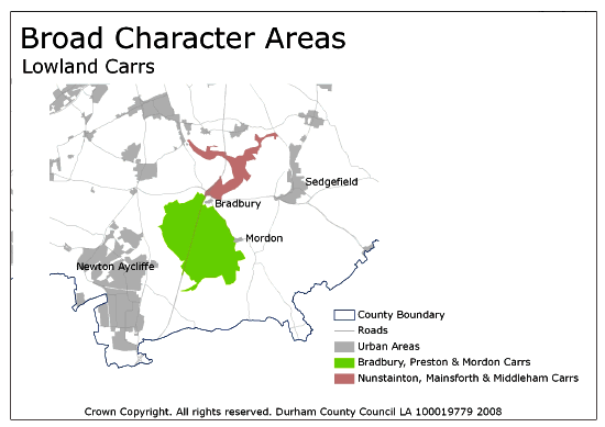
The Lowland Carrs landscape type is represented by two Broad Character Areas.
View interactive map of Broad Character Areas
Bradbury, Preston and Mordon Carrs. An extensive area of open, largely flat, carrs east of Newton Aycliffe. The lower lying parts of the carrs are improved or wet grassland with large fields bounded by straight ditches. Slightly higher ground in the carr fringes and at Little Isle and Great Isle are mixed farmland of improved pasture and arable cropping with fragmented sub-regular field patterns, occasional hedges and few trees.
Nunstainton, Mainsforth and Middleham Carrs. Narrow carrs of wet pasture fringed by low undulating farmland. The carrs are drained by the River Skerne and the Mainsforth Stell. There are a number of shallow or seasonal ponds, and small areas of wet woodland in the carr fringe.
Local Landscape Types
Local Landscape Types and sub-types are identified at a detailed level and reflect localised variations in landscape characteristics. A map of the Local Landscape Types and sub-types for the Lowland Carrs Broad Landscape Type can be downloaded as a PDF below:
Local Landscape Types – Lowland Carrs Map (PDF, 735kb)
Alternatively you can view an interactive map of Local Landscape Types for the whole of the Tees Lowlands County Character Area.
For a written description of the Local Landscape Type and sub-types for the Tees Lowlands County Character Areas download the following PDF:
Tees Lowlands Local Landscape Types (PDF, 1Mb)
Further Information
Further Broad Landscape Types with in the Tees Lowlands
or

