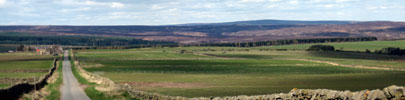
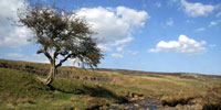
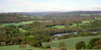
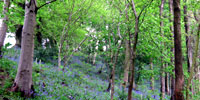
Character Areas and Types
The following sections gives information on The County Durham Landscape Assessment; the way the landscape has been classified together with descriptive information on County Character Areas, Broad Landscape Types and Local Landscape Types. Information on Broad Character Areas can be found in the sections dealing with the Broad Landscape Types to which they belong.
Interactive Maps
Local Landscape Types Maps by County Character Area: