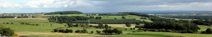

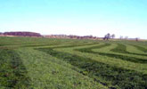
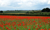
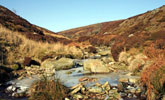
Broad Landscape Types
These landscape guidelines are designed to be read in conjunction with the County Durham Landscape Character Assessment and County Durham Landscape Strategy.
Follow the links below to find out more about the management for each Broad Landscape Types:
North Pennines
Dales Fringe
West Durham Coalfield
Wear Lowlands
East Durham Limestone Plateau
Tees Lowlands
Downloads
Download the Broad Landscape Types Guidelines 2009 as a PDF below :