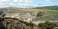
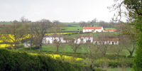
The Modern Landscape
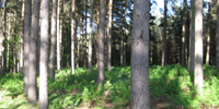
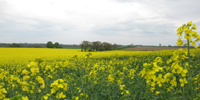
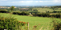
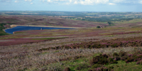
The landscape of Durham is predominantly rural with arable and mixed farmland in the east giving way to pastoral farmland, and moorland in the west. Urban development is concentrated in the central and eastern coalfields. Woodland cover is relatively low and concentrated in the upland fringes and river valleys.